Property & parcel maps
Show a property in context with reference boundaries, access, nearby features, and the layers you need for planning.

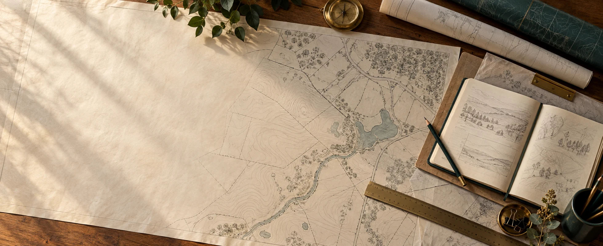
Custom Maps & GIS Support
You don’t need a large project to work with Priory Spatial. Get a custom map, clearer data, or help answering a specific location question—from Fernandina Beach to projects across North Florida.
Focused work, clear deliverables
Show a property in context with reference boundaries, access, nearby features, and the layers you need for planning.
Bring buildings, roads, trails, shared spaces, and facilities together for residents, visitors, or your team.
Create clear maps for property listings, hunting land, access planning, and land-management projects.
Turn an existing map or a new idea into a readable presentation, print exhibit, or digital map.
Organize location data and convert between KML/KMZ, Shapefile, GeoJSON, and CSV, subject to the source data and required fields.
Trace features from PDFs, aerials, sketches, or markups. Answer focused questions about acreage, distance, buffers, overlaps, or proximity.
Property and parcel maps are reference and planning products. They do not establish or certify legal boundaries and do not replace a boundary survey.
What you receive
A print-ready PDF, a digital map image, cleaned GIS files, or a focused analysis with a map and supporting results. We agree on the format, map extent, source data, and level of detail before starting.
How to start
A one-off map can stand on its own. If your needs grow into an inventory, field collection project, or web GIS system, we can scope that next step with you. Field work is available across North Florida, with travel included in the project scope.